logo
logo-dark
  • Sign-In/Register
logo-dark
  • How Our Platform Works
    • Overview
    • Storefront Plans & Pricing
    • Advertising & Email Marketing Services
    • Agents Overview
    • Audiences
  • Market Directory
  • Daily NewsFlash
  • Blog
  • Who We Are
    • Overview
    • Leadership
    • Testimonials
  • Support
    • Schedule a demo
  • LOGIN/REGISTER

logo-news

return to News

SHARE

Twitter Facebook Linkdedin Google Bookmarks Google Logo

California Police Adopt WingtraOne Drone for Wildfire Damage Assessment

Source:
WingtraOne
Posted on
November 24, 2020
- Republish on
November 24, 2020
by Neilson
California Police Adopt WingtraOne Drone for Wildfire Damage Assessment

The Lafayette City Police Department and an interagency task force joined a survey firm to deal with extensive damage caused by California wildfires that were raging in August and September. One of these, "the CZU lightning complex fire" caused a massive evacuation before destroying 86,509 acres (35,009 ha) and nearly 1500 structures across four communities and two state parks. To assess the worst-hit areas of this particular fire, a WingtraOne drone was used to collect aerial data used to generate 2D and 3D maps of the area.

"The mapping not only helps search and rescue and damage assessment, but it also helps us see immediately what's destroyed and what hazards need to be taken care of before we let people back into the area," said John Cornell, assistant to the chief of police at the City of Lafayette Police Department.

The Lafayette Police Department worked as part of an interagency task force and in partnership with GeoAcuity, a geospatial consulting firm, to produce a public-facing portal for stakeholders. The aerial maps provide a form of support for victims of the fire—offering them the information they need, the data their insurance companies need, and, in some cases, the proof they need to raise funds.

"I've seen like half a dozen GoFundMe website fundraisers that have our maps associated with them," said Dr. Greg Crutsinger, Director of Applied Research at GeoAcuity. "The WingtraOne drone data is important to a range of people, from the public agencies involved to the residents who are desperate for information."

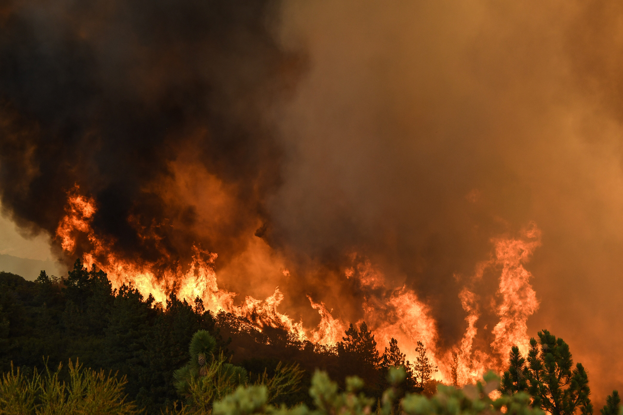
Through massive forests and undulating terrain, they covered more than 1500 acres (600 ha) in one day and four flights.

Redwoods are some of the biggest trees in the world, and there aren't a whole lot of areas to launch from in a disaster area like this," Cornell said. "You can't just go onto somebody's property and launch on top of their burned-out house. There are also a lot of crews working. So we needed to be as safe as possible and be able to predict precisely where the drone would land."

With VTOL (vertical take-off and landing) and its custom elevation terrain following feature, WingtraOne overcame the challenges of this complex situation. It covers a massive amount of ground fast for a high-resolution.

Learn more about WingtraOne here.


Latest News

Ransomware Took Heavy Toll on US In 2020

Ransomware Took Heavy Toll on U.S. in 2020: Researchers

January 20, 2021
AXIS Capital Estimates Q4 Catastrophe Loss of $195-$205M

AXIS Capital Estimates Q4 Catastrophe Loss of $195-$205M

January 20, 2021
Transition to Renewable Energy Driving Transformation of the Industry

Transition to Renewable Energy Driving Transformation of the Industry: WTW

January 20, 2021
Image of Register Today
Never miss a story on wildfires.
Sign up for the ProgramBusiness.com Daily NewsFlash!
Sign Up
Article type: 
Website content layout
  • KEYWORD SEARCH
  • SIC/NAICS CODE SEARCH
  • COVERAGE SEARCH

States

logo-dark

Navigation

  • How Our Platform Works
  • Market Directory
  • Daily Newsflash
  • Who We Are
  • Support
  • Terms & Conditions -- Reseller
  • Terms & Conditions Services
  • Terms & Conditions Website
  • Do Not Sell My Personal Information
  • Privacy

QUICK CONTACT

23172 Plaza Pointe Drive
Suite 205
Laguna Hills, CA 92653
Phone: 800.326.2700
Fax: 800.588.4958

STAY CONNECTED


Partners

Partner(s)

logo-dark
Download Compatible Browser
You may experience some issues on older version of Internet Explorer. For optimal experience please upgrade to Microsoft Edge or use alternative browsers such as Firefox, Safari, or Google Chrome.

Please use the following links to download:

  • Google Chrome
  • Firefox
  • Safari
  • Microsoft Edge

This site is not compatible with Internet Explorer. To receive an optimal experience please upgrade to Google Chrome or Firefox or Safari or Microsoft Edge

MAXIMIZE